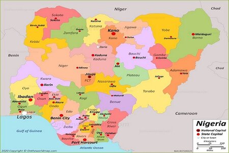
There are 21 local government areas in Adamawa state, Northeast, Nigeria. Toungo council area is the largest in terms of land area in the state.
The table below shows the LGAs in Adamawa, and their population using the 2006 National Population Commission or the estimates of some of the council areas.
| Council Areas | Population | Land Size |
| Demsa | 180,251 | 1,593 km² |
| Fufore | 209,460 | 5,066 km² |
| Ganye | 169,948 | 2,095 km² |
| Girei | 129, 855 | 1,040 km² |
| Gombi | 147,787 | 2,312 km² |
| Michika | 720,000 | 822.3 km² |
| Toungo | 52,179 | 5,665.37sq km |
| Mayo-Belwa | 152,803 | |
| Mubi South | 152,803 | 2,368 km² |
| Madagali | 135,142 | 957.4 km² |
| Numan | 90,723 | 803.9 km² |
| Maiha | 110,175 | 1,346 km² |
| Guyuk | 176,505 | 764.6 km² |
| Song | 260, 900 (2016 estimate) | 4,202 km² |
| Jada | 124,856 | 3,583 km² |
| Shelleng | 148,490 | 1,381 km² |
| Hong | 169,183 | 2,588 km² |
| Yola South | 196,197 | 919.0 km² |
| Lamurde | 550,000.00 | 1,083 km² |
| Yola North | 199,674 | 67.30 km² |
| Mubi North | 151,515 | 506.4Km2 |
Note: Adamawa has several mineral resources which can be found in some of the local government areas across the state, especially in the villages.
Sources:
ADSPC. “Adamawa State“. adspc.ad.gov.ng


